Wildlife Surveying | Southwestern Colorado
Why Survey?
Wildlife surveys are crucial to understanding the health of an ecosystem and the environment as a whole. Moreover, they give us insight into which species are doing well, which could be endangered, and, ideally, move us toward taking action to protect wildlife and the habitats important to their survival.
Our Wildlife Survey Services
San Juan Wildlife Services has the tools and expertise to help you meet all of your surveying needs.
Our team of skilled and dedicated wildlife specialists will be your boots on the ground to collect and compile field data.
We utilize ArcGIS, along with the field apps Survey 123 and Collector, to create seamless wildlife surveys that are simple to share and analyze.
Wildlife Survey Descriptions
Ground-Based Surveys
- Encounter surveys
- Ground counts at seasonal concentrations
- Tracks and sign
- Spotlight survey
- Camera trap station
- Pellet group count
- Snow track surveys
Aerial Surveys
(Performed with a drone)
- Encounter survey
- Total counts
Wildlife Surveys by San Juan Wildlife
Big Game Survey
San Juan Wildlife Services, LLC.
View full survey results, conclusion, and ArcGIS maps.
Introduction
San Juan Wildlife Services surveyed for big game presence at four different locations within the San Juan National Forest. These surveys took place at reservoirs located in the vicinity of Haycamp Mesa. Protocols for conducting this study included walking the perimeter of each body of water and observing tracks, scat, or other signs left by big game. Reservoir conditions and forage quality were noted as well. Finally, ArcGIS, along with field apps including Survey 123 and Collector, were utilized to record data in the field and provide accurate mapping resources.
Waterfowl Survey
San Juan Wildlife Services, LLC.
View full survey results, conclusion, and ArcGIS maps
Introduction
San Juan Wildlife Services conducted a survey of waterfowl activity on three different reservoirs within Montezuma County. These surveys took place in the morning when waterfowl tend to be more active. Protocol for conducting each study included observing waterfowl from a far enough distance so as not to cause disruption, utilizing high-quality binoculars for viewing at long distances, and implementing ArcGIS, along with programs Survey 123 and Collector, to record data in the field and provide accurate mapping resources.
Meet Our Wildlife Specialist

Tara Harris
Wildlife Specialist
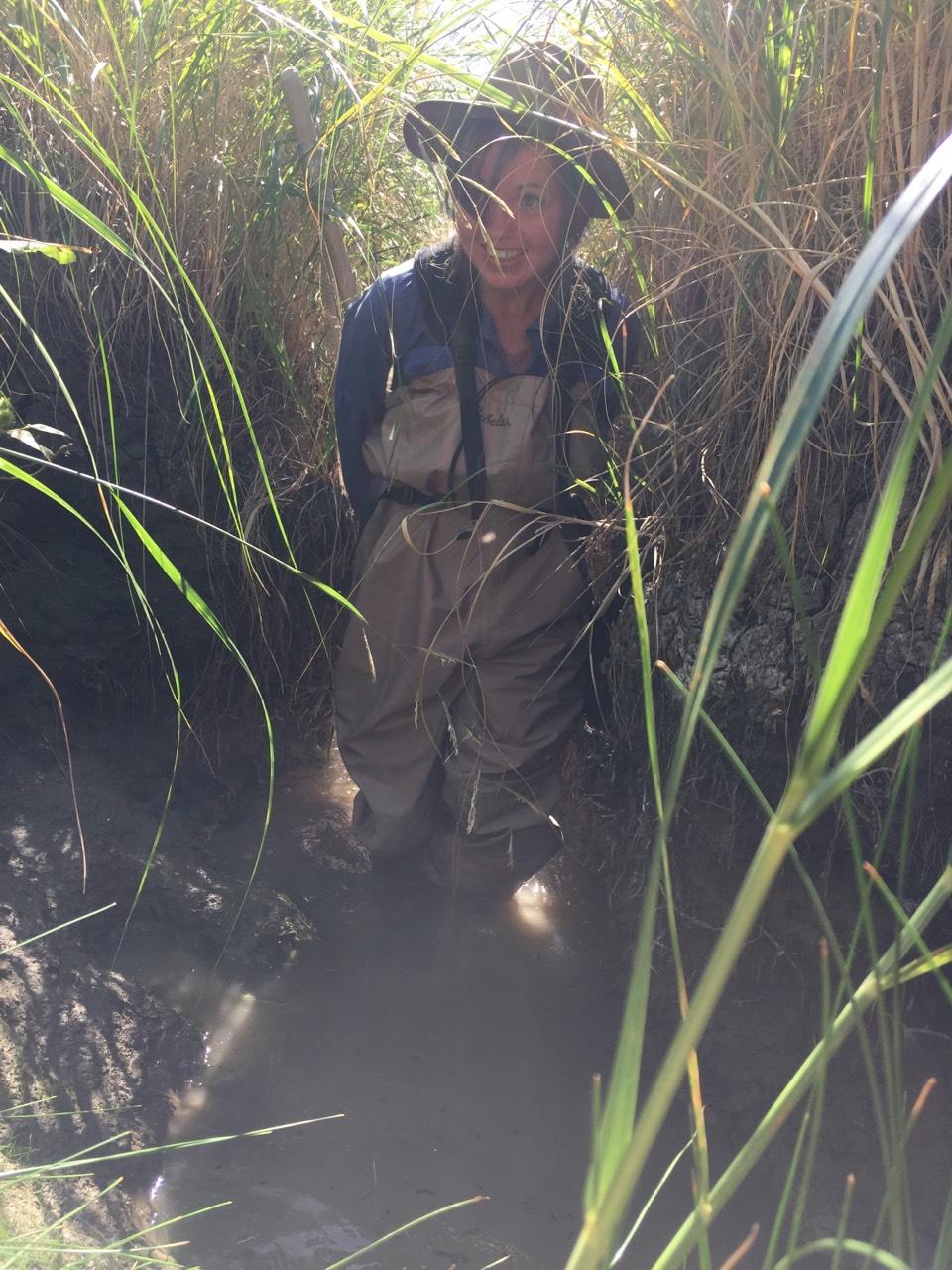
After getting her B.S. in Natural Resources Management from Eastern Kentucky University, Tara spent five years working for Public Lands Agencies (US Forest Service and Bureau of Land Management) in Colorado, Idaho and South Dakota. She started working with San Juan Wildlife Services in early 2020. Tara brings with her an extensive background in surveying and field research.
Tara's past wildlife surveying experiences:
- Collected bumble bee and bee habitat data to assess species distribution and habitat associations, and to inventory for species considered for listing under the Endangered Species Act
- Surveyed prairie dog populations and compared historic data to look at trends and movements over time
- Conducted waterfowl surveys to observe species use of two BLM reservoirs. Learned to correctly identify over forty species and their calls
- Assisted district fisheries biologist in prairie stream monitoring. Used water quality meters to test for PH and conductivity, aided with sein netting to capture and identify stream species, determined channel depth/width ratio in order to look at changes in fish habitat conditions over time, and operated TOTAL station and prism poles to track elevation changes in the stream
- Conducted Goshawk nesting surveys & White Headed Woodpecker nesting surveys
- Assisted Wildlife Biologist in conducting night-time Flammulated Owl surveys
Tara's other natural resource experiences:
- Performed Assessment, Inventory, and Monitoring strategy (AIM) for terrestrial systems, implementing core methods including: Line Point Intercept (LPI) with plant heights, Gap intercept, species richness, soil surface aggregate stability, and plot characterization including detailed soil pit, plot observations and photos
- Monitored forage utilization, sagebrush canopy cover and age-class, prairie dog burrow counts, and collection of soil cores
- Assessed riparian reaches for Proper Functioning Condition (PFC)
- Surveyed, ran transects, and GPS recorded areas of pine beetle damage in Ponderosa pine forests and spruce budworm damage in spruce/fir forests
- Performed stand exams for pre and post timber sale monitoring
- Used ArcGIS to manage data, build maps for field use and NEPA use, plan navigation routes to field points and track seasonal work flow progress
- Interpreted aerial photos and satellite imagery to assess resource conditions, breeding sites, and vegetation distribution
- Used Google Earth in conjunction with ArcGIS and other database platforms for route planning and past year references and comparisons of trails, roads, fences, and vegetation
Wildlife Survey Inquiry
You may also contact us by phone
970-426-5591 | 970-570-9922
